Showing posts with label hiking. Show all posts

Monday, August 23, 2021

Cape May Point State Park

Wow, it has been a minute since I posted anything travel-related, but earlier this month, we took a short vacation to Wildwood and Cape May, New Jersey.  My grandparents lived in Wildwood Crest for a good portion of my life, so we spent many summer weekends there when I was a child.  I have so many happy memories from those times, so it was nice to be able to spend an extended amount of time there after being away for so long.  My sister invited us along on her vacation, and we were lucky to have mostly beautiful weather while we there, especially the day we decided to go for a walk at Cape May Point State Park!


Cape May Point State Park has a little something for everyone - bird watching, trails, beaches, dunes, ponds, a WWII bunker, and the Cape May lighthouse, which you can climb for a small fee.  For more information about the park, visit this site.  The park has three trails: Red (0.5 miles), Yellow (1.5 miles), and Blue (2 miles).  They somewhat overlap, so we started with the Blue Trail, with the dunes on one side and two ponds on the other.  The trail here is a sandy, rocky mix.

The beach is just on the other side of the dunes and there is a connector trail.

There are great views of the lighthouse from everywhere along the trail!

Once we moved away from the dunes/beach, the trail turns into a combination of boardwalk and dirt path, and the feel of the park sometimes even feels like forest.


The Red Trail is a short offshoot from the Blue Trail and is quite shady until you reach a bird blind/viewing area.  There are a couple other bird blinds/viewing areas along the Blue Trail.

These flowers called swamp rose-mallows were in bloom during our visit.  They were enormous and beautiful and everywhere!  Even though the trails weren't long, Cape May Point State Park was a great place to meander for a little while.  The trails are all flat, making them easy for all levels of walkers/hikers.  There's also no entrance fee, which is nice.  Definitely a must-see when you're in the area!

Monday, October 19, 2020

Trexler Nature Preserve

Tom and I hadn't done any any traveling or hiking this year, for obvious reasons, but to celebrate our anniversary, we decided to do a little weekend getaway in Bethlehem, Pennsylvania.  Honestly, I felt a little selfish and guilty about it, because now is not the best time to travel, but we had a good time.  I wanted to spend time outdoors, and I came across Trexler Nature Preserve, not far from Bethlehem in Schnecksville.


The Trexler Nature Preserve was established as a game preserve and today offers 18 miles of hiking trails, mountain biking, and wildlife observation.  Extra bonus, the Lehigh Valley Zoo is also within the borders of the Preserve!

We parked at an area called "the Ford," which we used as a jumping off point for two trails.  We started with the Elk Viewing Trail, a 1.7 mile loop.  The first section of the trail was pretty steep, but the view at the top was so worth it!


One of the points of interest on this trail is Schlicher's Covered Bridge, which we saw on the way down from the top.


The last part of the trail is flat and at least partially paved in some areas, close to the shore of Jordan Creek.  This made for a lovely walk and views of the fall foliage.


We then made our way down the Covered Bridge Trail, a 1.2 mile loop that, yes, features another covered bridge, Geiger's, built in 1860!  I really liked this trail; it was an easy walk along the creek, one side more woodsy and the other more open.


We wore masks when other hikers and walkers were close by, and pretty much everyone else was also respectful with mask use.  I'm glad we were able to get out and enjoy the beautiful weather and changing leaves!

Friday, February 21, 2020

Blog Tour + Review: 100 Hikes of a Lifetime

Thank you to Trish Collins at TLC Book Tours for inviting me to be a part of the blog tour for National Geographic's 100 Hikes of a Lifetime: The World's Ultimate Scenic Trails!  I was provided with a free copy of this book in exchange for an honest review.

100 Hikes of a Lifetime: The World's Ultimate Scenic Trails
Kate Siber, Andrew Skurka (foreword)
Published February 4, 2020
From the world's expert in outdoor adventure, here is the ultimate hiker's bucket list, with 100 breathtaking experiences for beginners to experts around the globe--from the celebrated Appalachian Trail to the off-the-beaten path (but not to be missed!) Six Waterfalls Hike in Micronesia.

Filled with beautiful National Geographic photography, wisdom from expert hikers like Andrew Skurka, need-to-know travel information, and practical wildlife-spotting tips, this inspirational guide offers the planet's best experiences for hikers and sightseers. From short day hikes--California's Sierra High Route, Lake Agnes Teahouse in Alberta, Norway's Mt. Skala--to multiday excursions like Mt. Meru in Tanzania and multi-week treks (Egypt's Sinai Trail, Bhutan's Snowman Trek, and the Bibbulum Track in Australia), you'll find a hike that matches your interests and skill level. Crossing all continents and climates (from the jungles of Costa Rica to the ice fields in Alaska's Kenai Fjords National Parks), as well as experiences (a wine route through Switzerland or moose spotting on the Teton Crest Trail in Wyoming,) there is a trail for everyone in these pages. So pack your gear and lace your boots: this comprehensive and innovative guide will lead you to experience the best hikes of your life! - from Goodreads
I was very excited when Trish asked me to review this book, because, besides reading, hiking is one of my favorite activities.  In 100 Hikes of a Lifetime, Kate Siber has put together an amazing list of hiking trails from all over the world to satisfy every type of hiker.

The book is arranged by continent, and for each hike, the distance, length of trip, best time to go, and difficulty level are included.  Siber then includes a blurb (varying from one page to several) describing the trek, the surrounding area, where to stay, and who you'll meet (both people and animals!).  Of course, since this is National Geographic, there are tons of incredible photographs, which really served to fuel my wanderlust!

The best thing about this book is how comprehensive it is.  Since the 100 hikes span all seven continents, there really is something for everyone. Almost every type of terrain imaginable is included - jungles, forests, deserts, mountains, and beaches.  While there were many hikes at the difficult or expert-only levels, there were also several easy and moderate ones.  Distances vary from one mile to several hundred, with trip lengths from a couple hours to several weeks or even months.  If you're looking for remote places to enjoy the solitude, this book has it.  If you're looking for something closer to civilization, this book has that, too.

Sometimes I plan trips that revolve around hiking, and for other trips, hiking might be something we only spend one day doing, and a guide like this can help in both instances.  Whether you want to see waterfalls, castles, or ruins, or even drink some wine while you walk, you'll find something here to enjoy.  These trails were chosen because they offer something memorable and you're guaranteed to have a pretty unique experience on any of them.

Although I'd heard of some of these trails (and even hiked parts of them myself), most of them were new to me.  I think maps or websites (if available) would have been helpful for me in envisioning where the trails were or pointing me in the direction of obtaining more information.  Despite that one quibble, 100 Hikes of a Lifetime drove home the point of how vast and beautiful this world is - there is so much to see and do, more than I could ever imagine.  It was really inspiring!

4.5 stars


Purchase Links: Amazon | Barnes & Noble | IndieBound
 

Sunday, December 23, 2018

My Favorite Wanderings of 2018

Today I wanted to take a look back at the places Tom and I traveled and hiked this year.  Although it wasn't a great year for hiking, we crossed off two more states in our quest to visit all 50!

In April, we spent a couple days in Chicago and had an awesome time, even though it snowed!


We ventured over to Rutgers Gardens and Frank G. Helyar Woods.


We tried out a new hiking spot at Six Mile Run, which we've been wanting to try since we moved to our new house.


We also hiked Sourland Mountain Preserve, which was another new-to-us spot close to home.


The Morris Arboretum was a beautiful and fun place to spend a couple hours.


Lastly, we traveled to Tennessee for the first time for a family vacation in Memphis!


I'm so grateful for all of these wonderful experiences, and I can't wait to see where we go next!


Tuesday, September 25, 2018

Sourland Mountain Preserve


Ever since we moved to our new house last year, I've been wanting to check out the nearby Sourland Mountain Preserve, and we finally got a chance to!


Sourland Mountain Preserve is a 4,000 acre preserve located in Hillsborough. For more information about the park and to get a trail map, visit the Somerset County Park Commission here.

The preserve has a couple major trails and then a few connector trails that you can take to visit other areas or make your hike shorter or longer.  Our plan was to take the 5-mile Ridge Trail around the outer limits.  From the trailhead, we started moving up the eastern portion of the trail.  It had a pretty steady incline up to Devil's Half-Acre Boulders.  The trail had an outcropping of rocks and roots through this entire climb, so we definitely had to watch our footing.


Just a small portion of Devil's Half-Acre Boulders

Once we passed the boulders, the trail mellowed out a bit and we were able to move a lot quicker.  Even though there were a lot of cars in the parking lot, we only came across a group of Boy Scouts and it was really quiet most of the way.  That's something that always surprises me when we hike - even though I know we're in the middle of a pretty populated area, it can feel entirely isolated and peaceful.


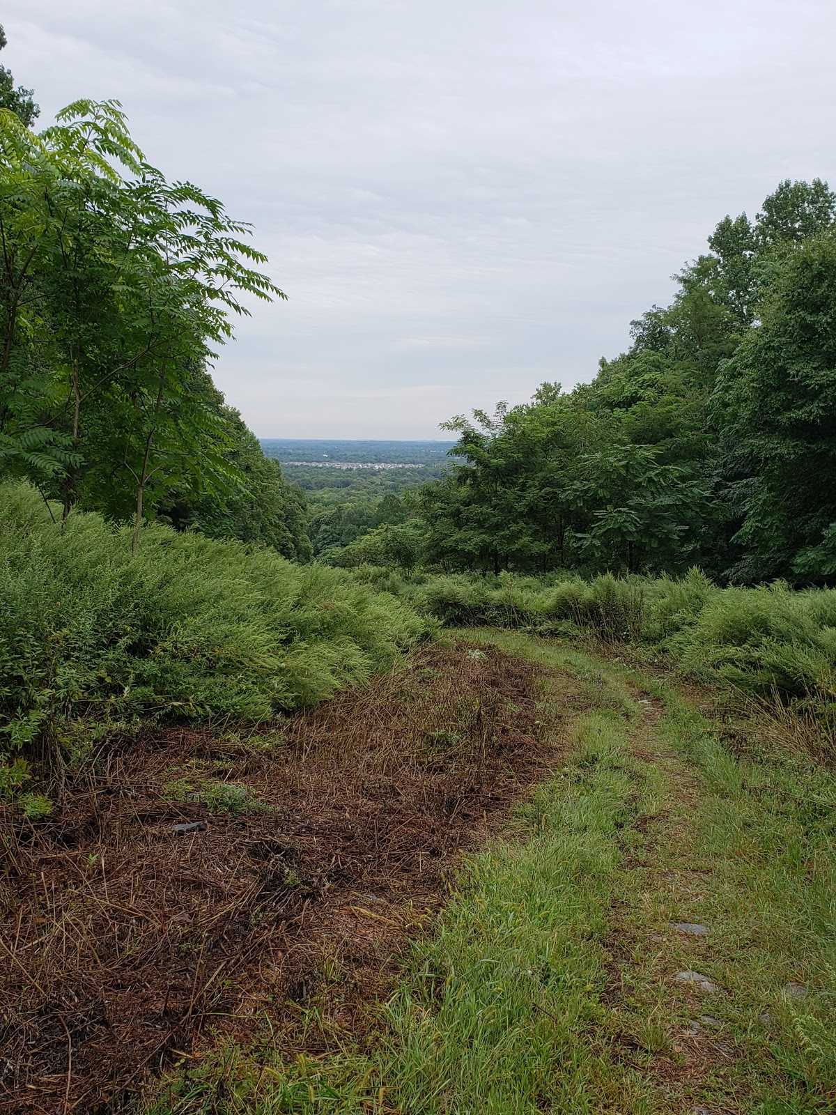
Unfortunately, the trail conditions weren't the best the day we went (it had rained a lot the night before, so it was pretty muddy), so instead of doing the entire Ridge Trail, we took advantage of a connector trail that basically bisected the preserve.  Coming down a pipeline, this trail had a pretty good view of the area and was somewhat steep - going downhill can be just as hard as going uphill sometimes!

Connector Trail
We ended up doing almost 3 miles, and we're definitely planning on going back and hitting the rest of Sourland Mountain Preserve!

Tuesday, August 7, 2018

Six Mile Run

We took advantage of a break in the heat one Sunday morning to check out Six Mile Run in Franklin Township, Somerset County, New Jersey.  There are three parking areas for the park, which is part of the D&R Canal State Park, and we started at the Canal Road lot.


For a trail map, click here.

Our original goal was to hike to the parking lot at the eastern end of the trail, on Route 27, and then come back.  We started on the Blue Trail, and I immediately loved it.  It moved from forest to wide open fields and back, and it was just so peaceful and lovely.  The trail was very winding, almost curling back on itself several times.  This area is also really popular with mountain bikers, and there were quite a few of them on the trail that day.


However, after being on the trail for a really long time and still not coming to the intersection with the Red Trail, our plan changed.  I feel like either the map wasn't super accurate or I had completely misjudged the length of the hike.  

When we finally reached the fork in the trail, we met up with some bikers we had come across a couple times.  They told us if we made a sharp right turn on the Red Trail, it would take us almost straight back to the parking lot, in half the time it took us on the Blue Trail.  This isn't marked on the map, so I'm glad they confirmed it for us.  And since we had been out there for almost 2 hours already, we took that option! 

The Red Trail was so scenic, overlooking the creek.  Although it had a couple big dips (very popular with the bikers), it wasn't a hard trail at all.


Overall, our hike was almost 6 miles, and we barely covered half the park.  I would love to go back someday and start at the other end, to see the rest of the area.

Tuesday, December 26, 2017

My Favorite Wanderings of 2017

Today I want to share my favorite parks and trails from the past year.  It wasn't the best hiking year for us - the weather was often an issue.  But, we got to see some gorgeous places!

We finally made our way out to Las Vegas, and we drove out to the Hoover Dam and Lake Mead National Recreation Area for a tour and some walking.


Also while we were in Vegas, we went out to Red Rock Canyon National Conservation Area, which was one of the most unique and beautiful places I've ever seen.


While in Pennsylvania for my cousin's wedding, we took advantage of a free morning to take a quick hike at Rocky Ridge Park.


Also in Pennsylvania, we checked out Longwood Gardens.


During a family vacation to Missouri, we took a walk at Table Rock State Park.


And closer to home, we finally checked out Great Swamp National Wildlife Refuge.


We finished the year by going back to Longwood Gardens for the holiday light show.


Happy trails!

Thursday, June 8, 2017

Rocky Ridge Park

In May, we went out to York, Pennsylvania, for my cousin's wedding and we took advantage of some free time in the morning to get in a hike before the ceremony!


For some more information about the park and to get a trail map, click here.

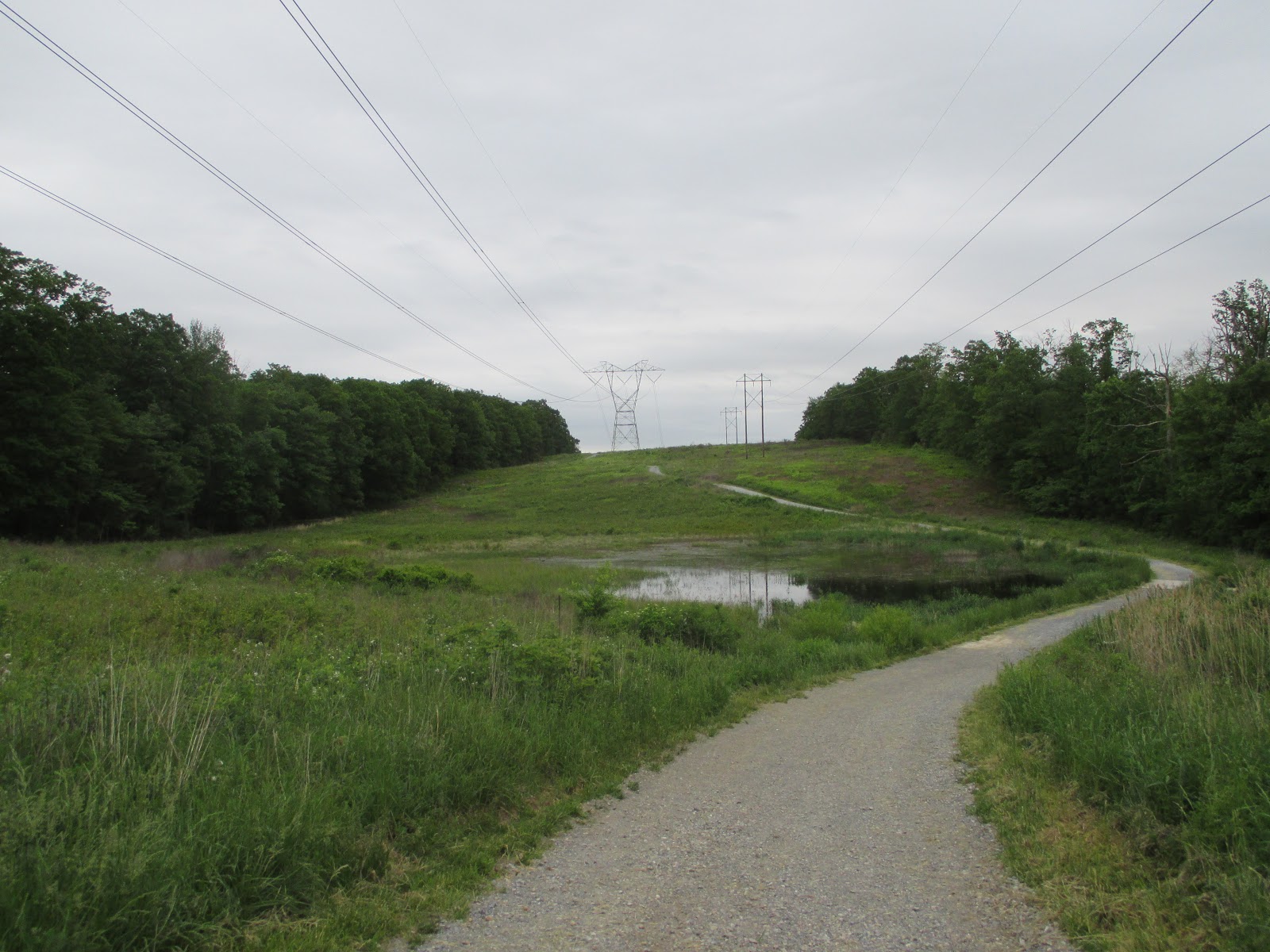
Rocky Ridge Park is a 750-acre park with over 12 miles of trails.  We stayed on the eastern half of the park.  The park is bisected by these enormous power lines; it was a little weird to hear the loud buzzing of the electrical lines in the parking lot, but once we got on the trails, we didn't even notice them anymore.  I was really struck by how quiet and peaceful this park was.


We walked down to the south observation tower, which has a nice view of the York Valley.


From there, we took part of a perimeter trail and then went onto some interior trails.  Some of the paths were wide, but at some points the trails got very narrow.  There were some areas of stone-laden paths, so we had to watch our footing. 


I can't speak for all the trails, but the ones we went on were fairly level, with some small areas of decent inclines and descents.


We finished our hike by heading to the north observation tower, which has views of the Susquehanna Valley (and the power lines).  I really liked these observation points; it's nice to be in the forest, but I loved these wide open spaces that let you see for miles and miles.

Thursday, April 27, 2017

Red Rock Canyon National Conservation Area

One of the things my husband was most excited about during our Las Vegas trip was a visit to Red Rock Canyon.  Located less than a 1/2 hour west of the strip, Red Rock Canyon is a beautiful place to spend a few hours.


For more information, click here.

There is a $10.00 per car entrance fee.  A 13-mile one-way road loops around the canyon, offering several parking lots to pick up trailheads and locations to take some spectacular photos.


With 20+ trails of varying lengths and levels of difficulty, there's something for everyone here, even trails for small children.  The trails themselves range from dirt/gravel to sand to small rocks to large boulders.

Red Rock Canyon is so different from the hikes we usually go on.  We're used to being in the woods, surrounded by shade and trees.  This time, we were in the desert, wide open spaces with little in the way of shade (although, it was a little more green than I expected!).  They're pretty obvious, but I want to offer the following tips for hiking in Red Rock Canyon:

  1. Wear a hat and sunglasses.  Don't be dumb like me and give yourself a headache by squinting the whole time.  You're in the desert, it's going to be very sunny.
  2. Put on plenty of sunscreen.  It was only in the mid-50s when we were there, but it felt a lot warmer, so I didn't even wear a jacket.  Protect your exposed skin from the beating sun.
  3. Bring plenty of water.  You should always have water when you're hiking, but even more so when you're in this type of terrain and weather.  Stay hydrated! 
First, we hiked the Calico Springs Trail.  The trails were marked way better than I expected.  There were some signs, and when it made sense, the trails were lined by rocks, marking the path.  Calico Springs featured all different types of terrain along the way, but it was still a pretty easy hike.


Is it just me, or does this rock formation look like an iguana?

We also hiked the Keystone Thrust Trail.  This trail had a pretty decent incline the whole way, as well as a path of small rocks, which made for rough going.  But, the view down into the canyon made it all worth it!


My photos don't do this beautiful place enough justice - Red Rock Canyon is a must-see if you're in the Las Vegas area!